Our experienced management team were involved in the birth of small parcel deliveries to the USA in the 80’s, in the days of on-board couriers, and utilising passenger luggage to achieve next day deliveries throughout the USA.
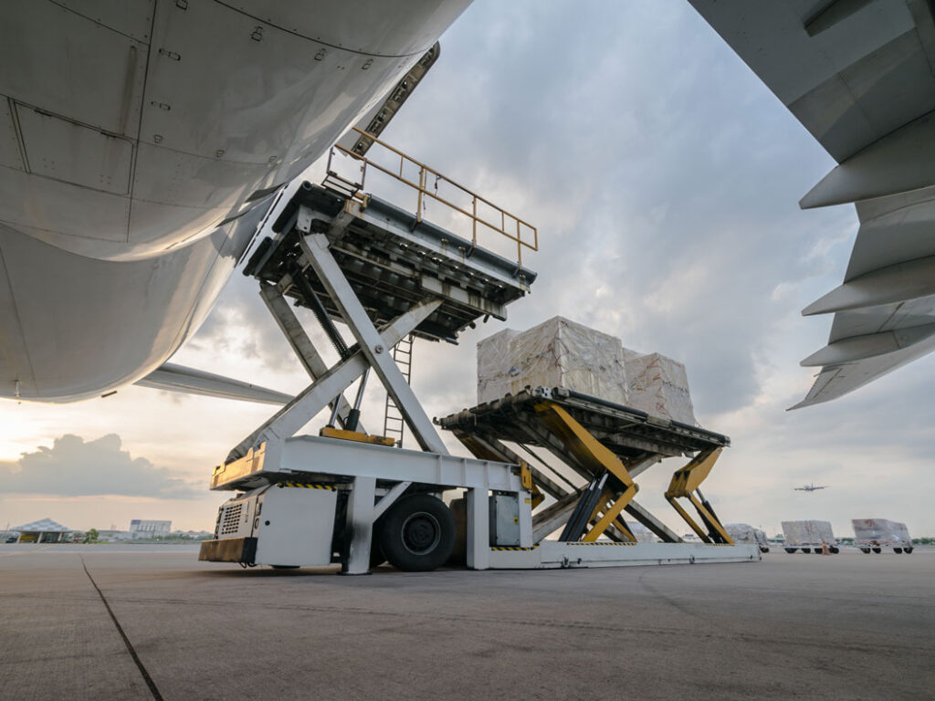
Nowadays the logistics industry has revolutionised the process, enabling deliveries to be made more cost effectively without compromising on delivery times. Liberty Express has been at the forefront of these changes servicing the needs of the key players for airfreight and bulk Shipments of both printed matter and e-Commerce goods to the USA.
Whilst New York City has always been the main gateway, as it is the financial business hub in the USA, more and more freight shipments are going further afield. Liberty has hand picked agents that we fly daily to on the East coast, Central and West coast of America. This ensures your freight is delivered in agreed timescales, at a reasonable cost.
Having accounts with every airline, gives Liberty Express the ability to fly direct to any airport in the USA, with over 250 networked agents, which work as one to ensure the quickest delivery possible after clearance for your urgent shipments.
Whether your delivery is big or small, urgent or economy delivery. With services tailored to both businesses & the general public, which allows us to provide competitive pricing for everybody with service class to match. Airfreight & Parcel – we can compare our services to find the most cost effective way of moving your parcels, pallets, mail or Freight to it’s destination.
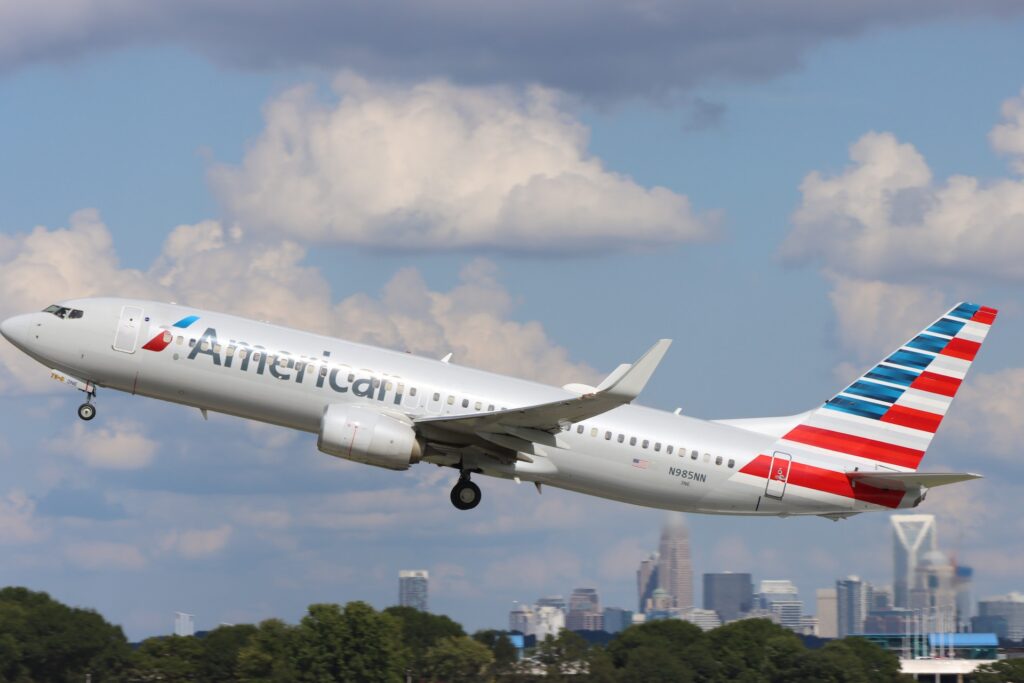
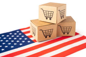
USA AIRFREIGHT & PARCEL SERVICE
All packages are important and arrive at their destination on time, each & everyone is tracked. Our transport department can arrange your UK to USA collections & deliveries and collect at your premises or ours. Liberty Express also offers customs clearance for the USA.
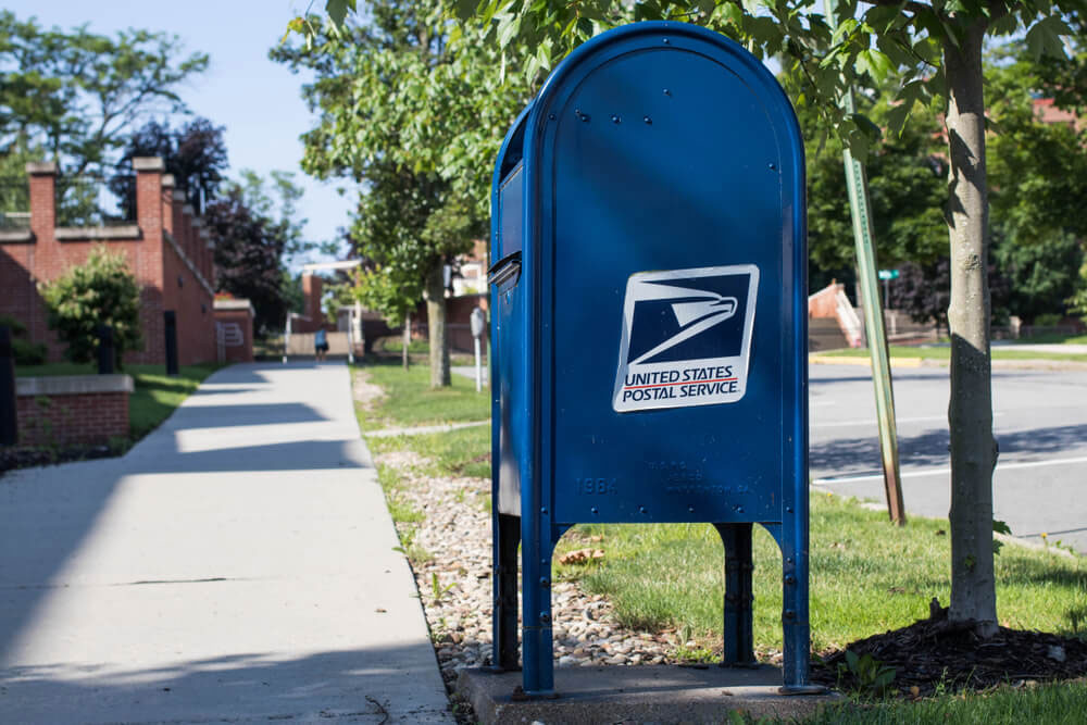
Specialising in bulk shipping, we offer seamless customs clearance for your direct mail items.
By injecting mail directly into gateways across the East Coast, Central, and West Coast of the USA, we enhance efficiency, saving you valuable time and money. Experience a streamlined, cost-effective solution tailored to your direct mail needs.
Our team excels in bulk mail services, partnering with mail consolidators and USPS Post offices. Our expertise spans the USA, especially in e-commerce.
We guarantee efficient, cost-effective delivery for your bulk mail campaigns. Choose us for seamless, reliable solutions tailored to your needs.